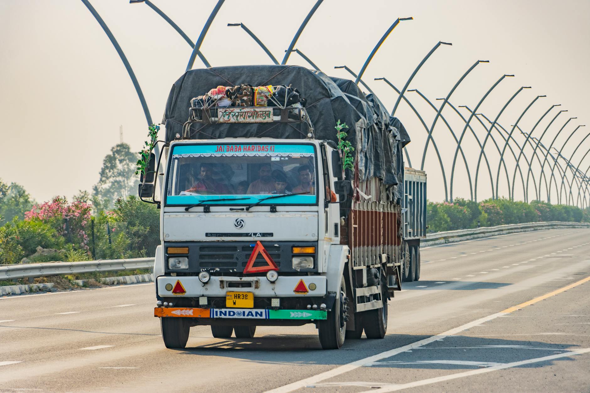
Washington, D.C. — Professional truck drivers rely on commercial GPS units to prevent catastrophic low-bridge strikes, hazmat routing violations, and illegal heavy-vehicle encounters, but those split-second calculations depend on months or years of meticulous data aggregation. A standard passenger car navigation system looks only for the fastest route, whereas a dedicated commercial routing platform must cross-reference a constantly evolving network of state, county, and municipal restrictions. These routing databases ingest information from thousands of disparate sources, combining government road logs with satellite imagery, engineering records, and physical field verification to build a reliable map for an OTR truck driver navigating unfamiliar territory.
No single federal agency or national entity maintains the complete blueprint for American freight movement. State departments of transportation supply designated truck corridors, bridge clearance logs, and active construction alerts, while local governments independently establish commercial bans, seasonal weight caps, and delivery vehicle restrictions. Commercial mapmakers sift through these varying municipal schedules, constantly refreshing their databases rather than relying on a single annual revision. This constant background work ensures that a CDL-A driver hauling heavy freight receives actionable instructions before encountering a prohibitive weight station or an impassable municipal corridor.
Bridge clearance tracking presents unique technical hurdles because vertical measurements fluctuate due to roadway repaving, structural rehab projects, and highway reconstruction. State transportation departments sometimes publish legal clearance thresholds that incorporate built-in safety margins for commercial rigs, which can differ from physical measurements taken in the field. Mapping companies must reconcile these discrepancies against engineering blueprints before pushing updates to hardware units. Beyond vertical limits, these commercial databases track hazardous material bans, multi-axle weight limits, trailer length caps, and tunnel regulations, assigning every individual restriction to the exact roadway segment required by routing software.
What This Means for Drivers
Active construction zones, emergency bridge repairs, and shifting utility closures introduce temporary hazards that permanent map databases miss. Because different GPS hardware platforms update their software packages on varying schedules, two distinct truck-specific units can easily suggest different detours around a closed highway segment. Owner-operators and fleet managers frequently supplement their dashboard navigation by monitoring state DOT traveler information systems directly, particularly when running regional routes through heavy construction corridors. Professional drivers also serve as the final line of defense by submitting error reports for missing clearance signs, newly restricted streets, or outdated map data directly through their navigation applications.
Industry Reaction
Motor carriers and independent operators across the freight sector continue to advocate for centralized, real-time data sharing between state infrastructure agencies and commercial tech developers to minimize routing errors. As municipalities adjust local delivery hours and weight restrictions to curb urban congestion, keeping commercial navigation systems synchronized with municipal code changes remains an expensive, ongoing challenge for mapping providers. Trucking companies hiring new talent emphasize the importance of understanding these routing limitations, ensuring that newly licensed CDL-A drivers know how to verify GPS directions against physical road signs and state-issued oversize permits.
Key Points
- Commercial truck maps draw data from thousands of state, county, and municipal agencies rather than a single national repository.
- Bridge clearances require constant auditing because paving projects, rehabilitation work, and safety margins alter physical vertical measurements.
- Temporary construction zones and emergency road closures appear on different navigation platforms at varying times depending on provider update cycles.
- Professional truck drivers utilize built-in app feedback features to report map errors, missing clearance signs, and outdated weight restrictions.
Looking for a better trucking job? US Trucker's free job-matching service connects CDL-A drivers, OTR drivers, regional drivers, and owner-operators with 500+ top US carriers. Leave your details in the form on this page and a recruiter will call you within one business day. Trucking companies are hiring now.
Photo by Shantum Singh on Pexels