FORESTHILL, CA — A tractor-trailer driver learned the hard way that consumer-grade GPS systems are no substitute for professional route planning after becoming wedged on a narrow, one-lane gravel road in Placer County. California Highway Patrol officers spent hours on January 4 extracting the heavy rig from Yankee Jim’s Road, a remote passage that connects Foresthill Road to Interstate 80 and is entirely unfit for commercial motor vehicles.
The incident highlights the growing friction between standard mapping applications and the physical realities of commercial trucking. While many drivers rely on phone-based navigation for convenience, these systems frequently fail to account for weight restrictions, turning radii, and road surface conditions. Yankee Jim’s Road, notorious among locals for being difficult even for standard pickup trucks, serves as a cautionary tale for any operator trusting a screen over physical signage and local knowledge.
Troopers on the scene emphasized that this specific route is impassable for large commercial vehicles. The removal process required significant resources and time, forcing authorities to issue a public reminder for all commercial operators to verify their routes manually. Relying on automated directions without checking for truck-specific hazards remains a primary cause of avoidable delays and expensive recovery operations across the state.
What This Means for Drivers
Every CDL-A driver must treat GPS directions as a suggestion rather than a command. Professional drivers should use dedicated trucking GPS units that allow for the input of height, weight, and trailer length to avoid being routed onto unsuitable backroads. Owner-operator success depends on situational awareness, and failing to verify a route before engaging in a tight turn or narrow passage can lead to massive towing bills and potential FMCSA violations. If a road looks questionable, pull over in a safe, designated spot and consult a physical atlas or official state truck route map before moving forward.
Industry Reaction
The trucking industry continues to grapple with the limitations of digital mapping tools that prioritize speed over safety. Carriers and dispatchers often remind their fleets that consumer-grade apps lack the sophisticated databases required for heavy-haul operations. As trucking companies hiring new talent look to improve efficiency, the focus is shifting toward integrated telematics that force drivers to stick to designated commercial corridors. Keeping rigs on main highways and approved arterial roads remains the only way to avoid the logistical nightmares that occur when technology leads a professional driver into a dead end.
Key Points
- The incident occurred on January 4 on Yankee Jim’s Road in Placer County.
- The road is a one-lane gravel route deemed impassable for large commercial vehicles.
- CHP officials explicitly warned drivers against relying solely on phone maps for navigation.
- The recovery of the trapped tractor-trailer required several hours of effort by local authorities.
Looking for a better trucking job? US Trucker's free job-matching service connects CDL-A drivers, OTR drivers, regional drivers, and owner-operators with 500+ top US carriers. Leave your details in the form on this page and a recruiter will call you within one business day. Trucking companies are hiring now.
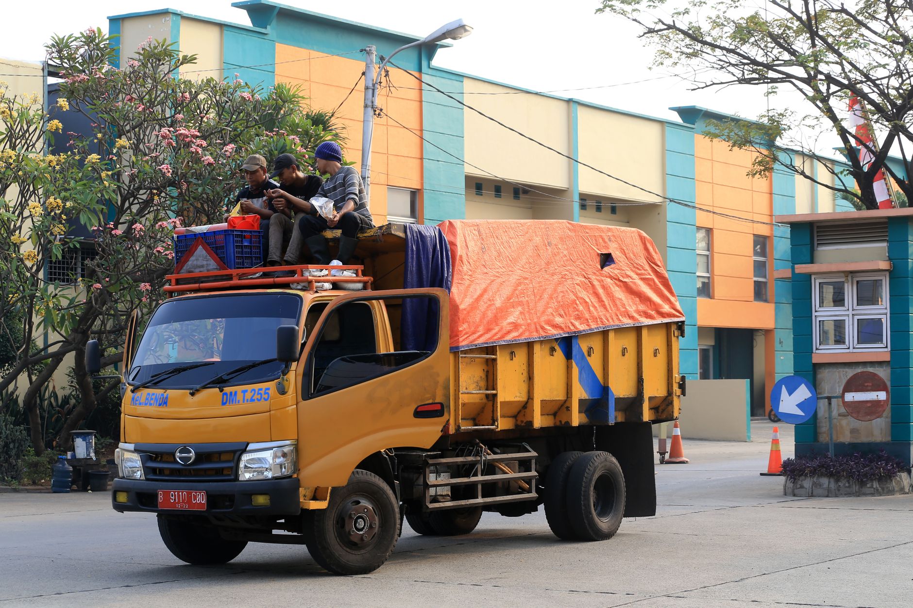
Photo by Jeffry Surianto on Pexels